The country's rainiest month is the Caribbean's driest
September and October flip Costa Rica's rainfall map, and in that window the South Caribbean reveals three kilometers of beach, a manatee refuge, and a ship no one ever came back for.
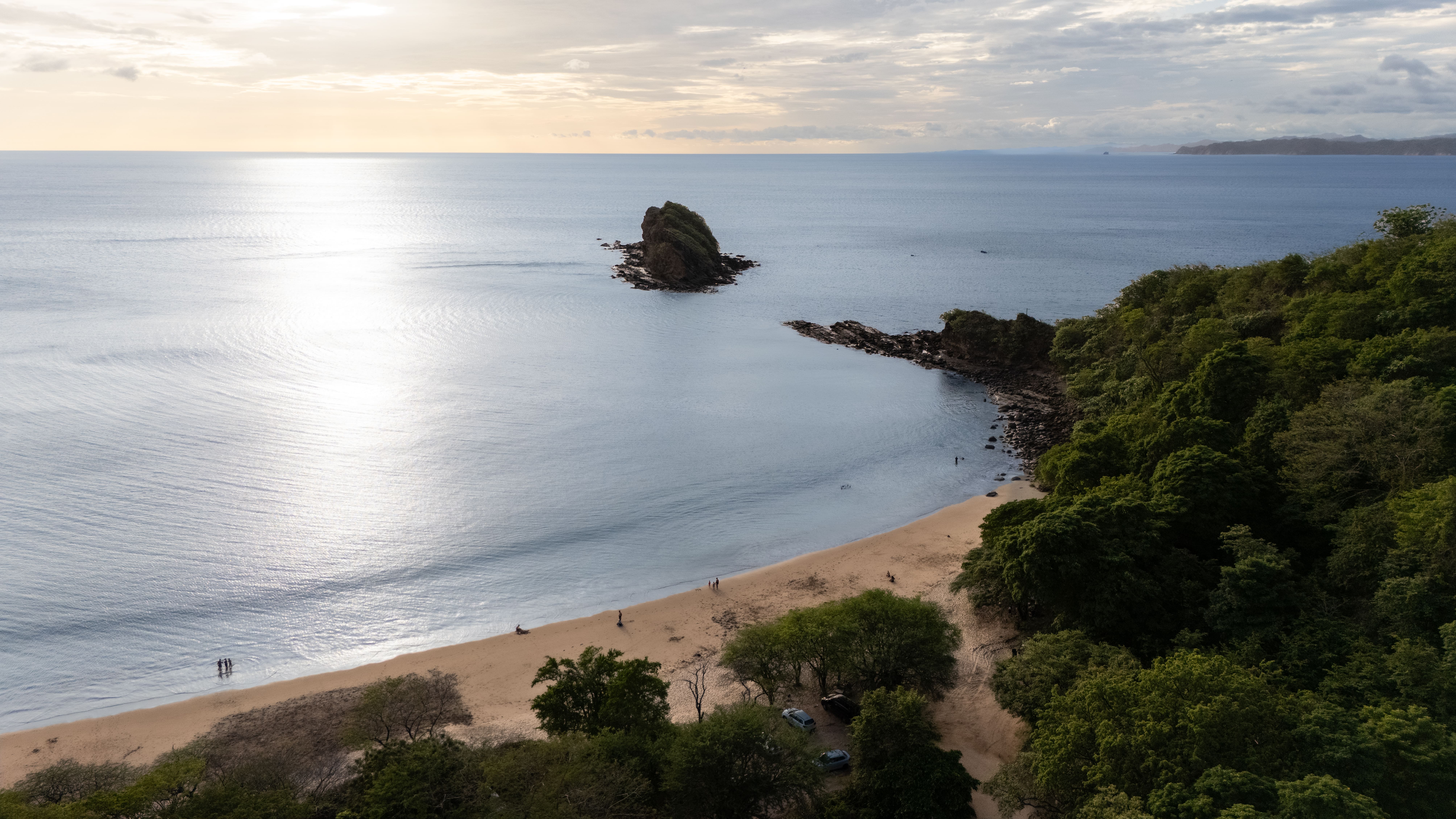
There's a firmly held belief in Costa Rican tourism: September and October are bad months to head to the beach. And it's true — for almost all of the country. These are precisely the rainiest months in the Pacific regime, driven by cyclonic systems and the position of the Intertropical Convergence Zone.1
The catch is that Costa Rica doesn't have a single rainfall regime. It has two, and they run in opposite directions.
The mechanism, not the anecdote
The Caribbean slope is dominated by the northeasterly trade winds, which blow year-round and drive its persistently high rainfall and humidity. Those winds don't blow with the same force every month. When the trades weaken in September and October, Caribbean rainfall drops to the relative minimums of its annual cycle.2
In other words: the same slackening of the trade winds that produces the mid-year dry spell (veranillo) on the Pacific in July and August is what strips the Caribbean coast of its rainfall engine in September and October. Two slopes, one wind, opposite effects.
It's worth stating precisely what this means and what it doesn't. It does not mean guaranteed sun. The South Caribbean records between 1,950 and 3,000 mm of annual rainfall and is classified as a rainy zone year-round.3 What September and October offer is a statistically better probability, measured across decades of records — not a promise. Anyone selling a visitor on "the Caribbean is always dry in October" is stretching a real pattern until it becomes false.
A temporal nuance is also worth noting: the IMN's seasonal forecasts in recent years have described atypical Septembers, with the Caribbean running a sharper rainfall deficit than usual. A thirty-year climatological pattern is not the same thing as a forecast for a specific week. The former is useful for planning a trip; the latter, for deciding whether to head out on a walk today.
Three kilometers almost no one walks
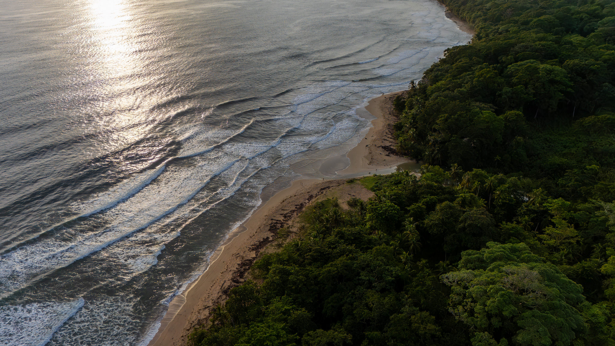
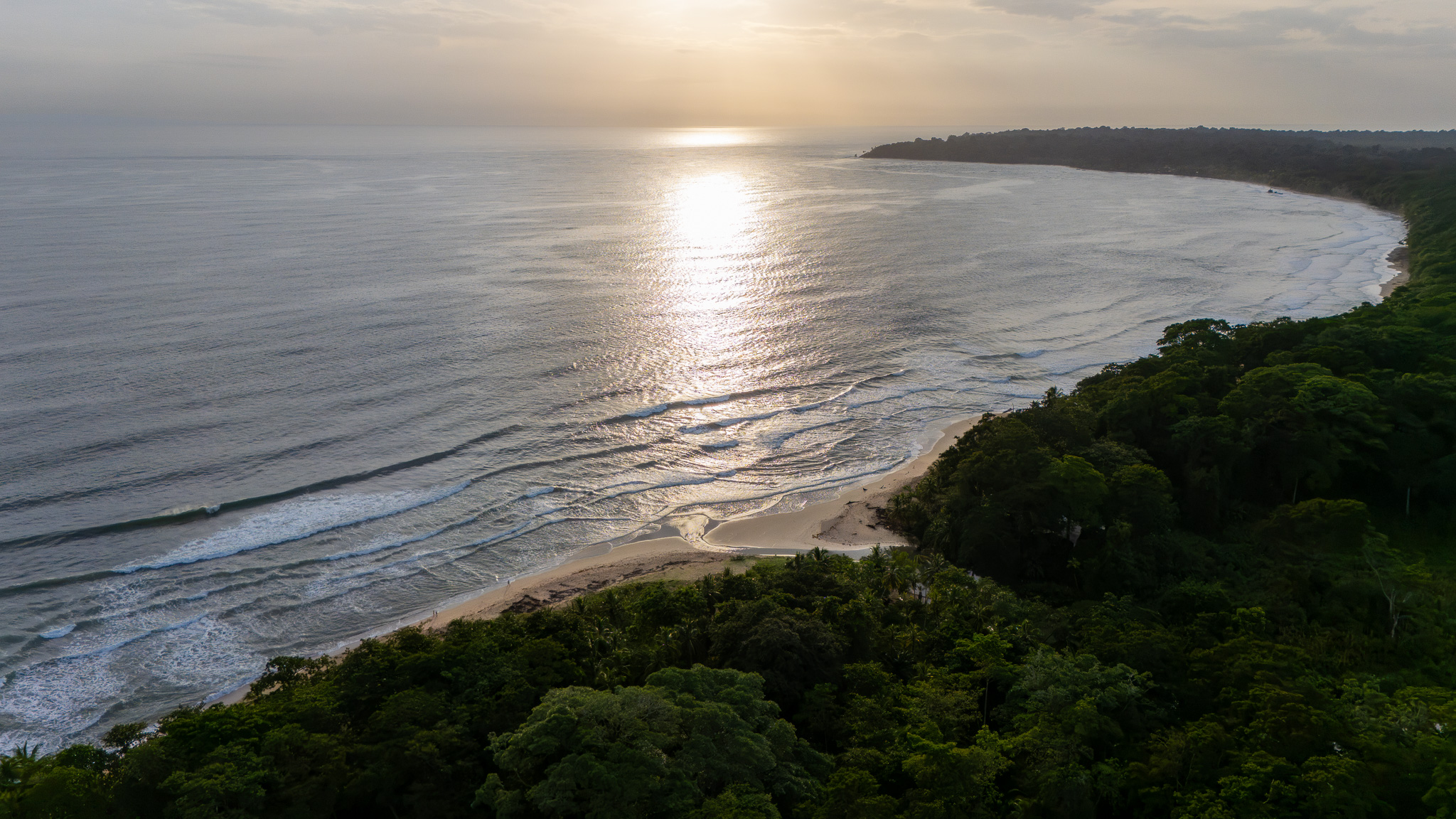
Playa Grande doesn't appear on the lists of Costa Rica's best beaches. It stretches between Punta Uva and Manzanillo, at the country's southeastern tip, about 8.5 km south of Puerto Viejo along the coastal road.
The full route between Playa Manzanillo and Playa Punta Uva is registered as a 6.4 km round-trip coastal trail, with roughly 69 meters of accumulated elevation gain, taking between an hour and an hour and a half.4 Translated to what you actually do on the ground: the one-way leg is about 3.2 km, taking 45 minutes to an hour and a half depending on how often you stop. With pauses to swim, look at the reef and reach the shipwreck at the southern end, it's a full morning.
What sets this stretch apart isn't the sand — the South Caribbean has plenty of that. It's the absence of construction along the shoreline. And that absence isn't coincidence or local good taste: it's regulation.
Why this coast looks the way it does
This entire strip lies within the Gandoca-Manzanillo National Wildlife Refuge, a mixed-tenure protected area — combining state and private property — that comprises 5,091 continental hectares and 5,360 marine hectares, more than 10,400 in total.5
The 1985 creation decree names the species that motivated the protection explicitly: the manatee, the crocodile and the caiman, the tapir, and the only known natural bank of mangrove oyster in a coastal reef area.5 The refuge is one of only two sites in the country where manatees are still found.3
Since 2013 it has carried the name of Jairo Mora Sandoval, the conservationist murdered on the Caribbean coast that year. And the refuge is not a closed case either: in 2014, land was returned to neighboring communities following complaints from local residents about evictions and strict building codes.3 The same regulation that keeps the beach empty has come at a social cost for those who live here. Worth knowing while you're walking and enjoying the result.
The ship no one came to collect
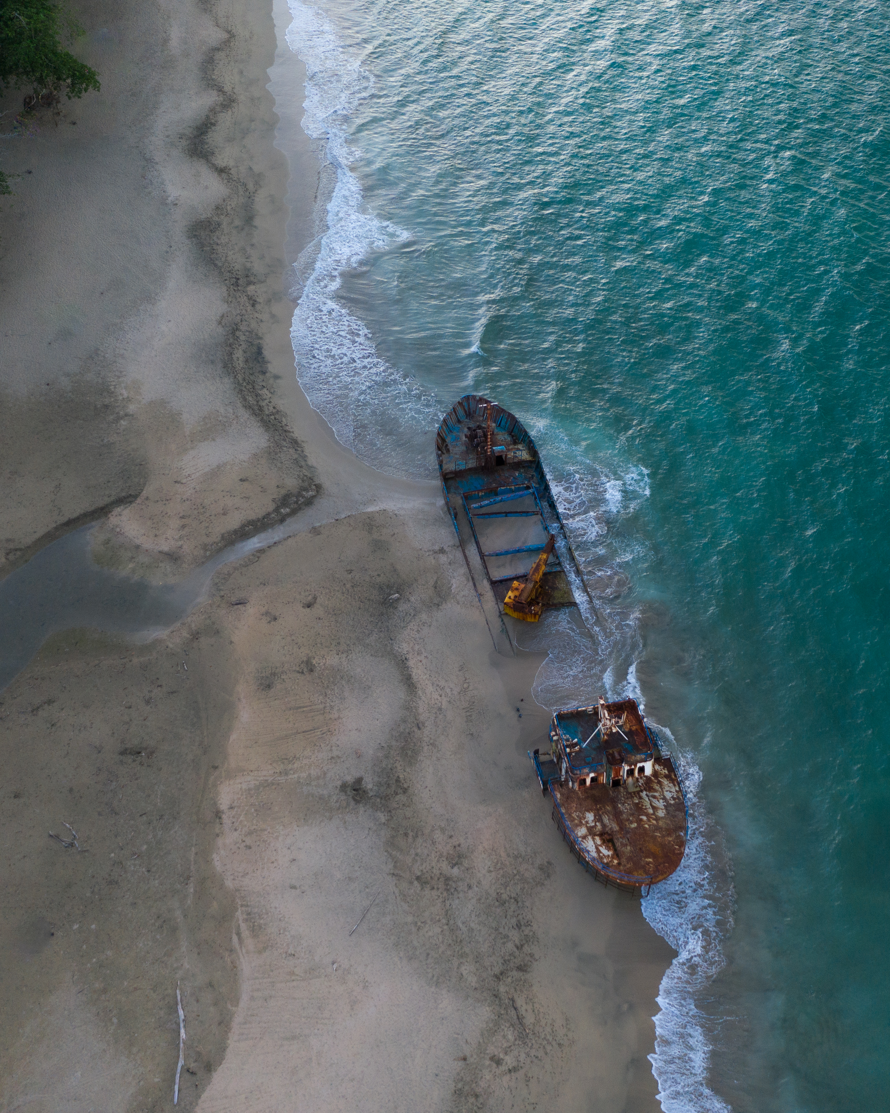
At the southern end of the beach, up against Manzanillo, sits a cargo ship beached on the sand. It's called the Yicel, flies the Panamanian flag, and has been there since the afternoon of Friday, December 8, 2017.
It was en route from Panama to the port of Limón to load sand. On the crossing it suffered a breakdown: water entering through a crack in the hull flooded the engine room and knocked out the bilge pumps.6 Facing the risk of sinking offshore, the crew crossed the reef and intentionally grounded the vessel in front of the village of Manzanillo.7
A note of precision is warranted: sources at the time do not agree on the size of the ship. La Nación describes it as a 60-meter vessel, built in 1961, with 211 gross tons.6 Semanario Universidad, on the other hand, reports it as a 41-meter cargo ship.7 The discrepancy was never publicly resolved.
What is precisely documented is the institutional response, and it's worth stating because it went well. Recope, Japdeva, the Fire Department, the National Emergency Commission, Minae, the MOPT and the Public Force coordinated the fuel extraction. Collapsible tanks were set up on the beach and diesel was transferred through interconnected hoses. Some 6,000 liters of diesel and 15 liters of hydraulic oil were removed, and personnel inspected the vessel repeatedly to make sure not a single drop remained.8 The operation ended without spilling a drop of hydrocarbon into a protected reef.
The problem is what came next. In December 2017 the Vice Minister of Environment wrote that towing the vessel remained pending "in the coming days," and the shipping company that owned it was negotiating with Japdeva to rent a tugboat.9
Almost nine years have passed. The ship is still there.
What remains is to tow the vessel in the coming days.
There is no public clarity on whether it will ever be removed, or on where the shipping company's liability ended up. Meanwhile rust and time have folded it into the landscape and it has become a tourist attraction: people come to photograph it at sunset, and it appears tagged on social media as one of the must-see spots on the South Caribbean.
That's the tension that makes this place interesting. The same institutional apparatus that prevented a spill in record time inside a Ramsar refuge failed — or didn't prioritize — closing the file. An unresolved accident ended up turned into a postcard.
Where to stay to walk this
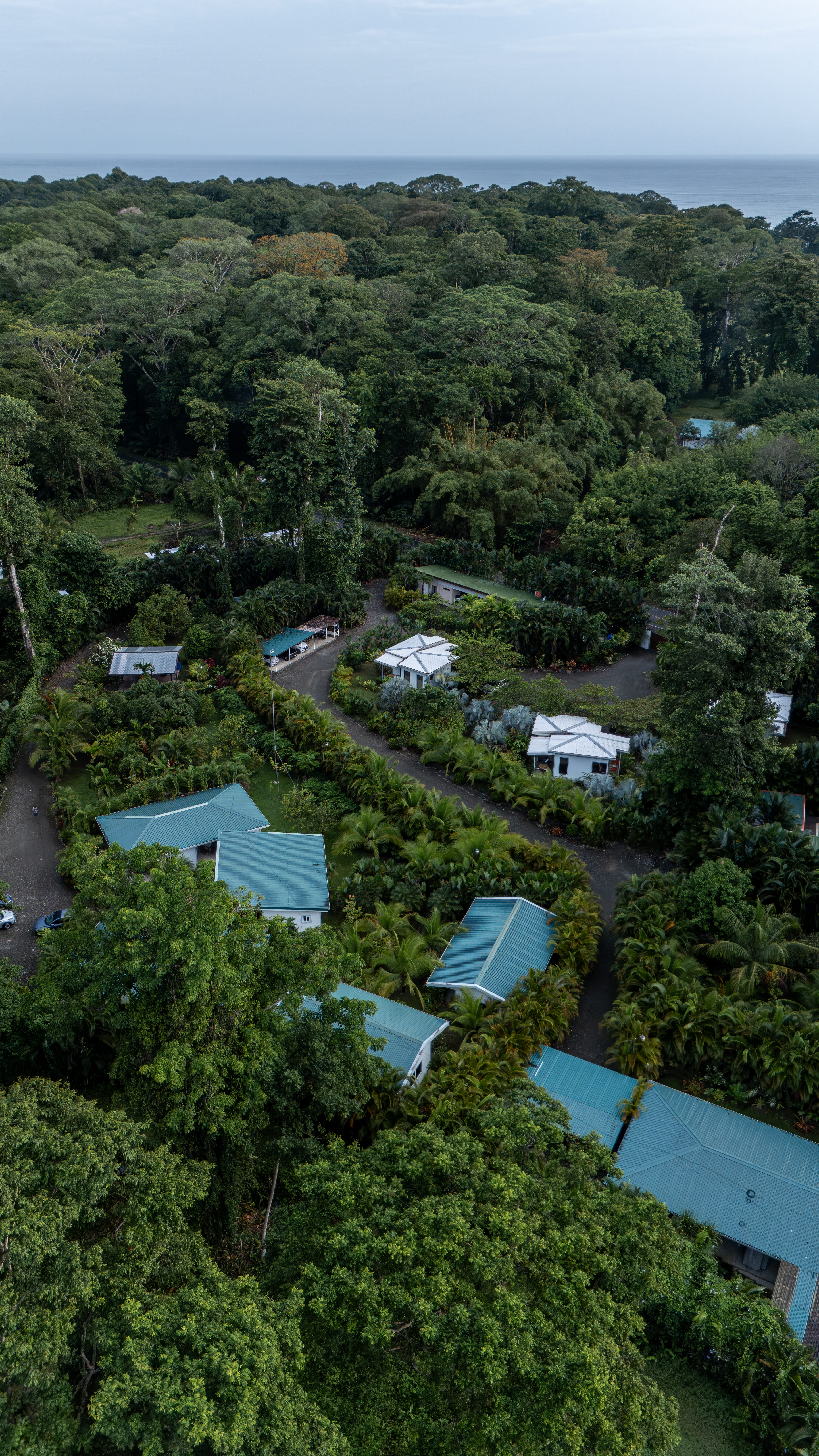
This piece was produced during a four-night stay at Selvática Residence, in Punta Uva, about 500 meters from the northern entrance to Playa Grande. It's the spot where the walk described above begins: you step out of the property, drop down to the sand, and head south.
The property operates on a different model from the standard drop-in hotel. These are residences with full kitchens, air conditioning and a pool, designed for both short stays and longer remote-work stints — a month or more — in an area where that visitor profile is already part of the local economy.
For the September-October window, the rate for the largest room — four guests — was $113 per night at the time of this query, taxes not included. Split four ways, that's about $28 per person per night; three ways, about $38. Booking-engine rates are dynamic and shift with date and availability: the figure above corresponds to a specific August 2026 quote, not a fixed seasonal rate.
What matters for anyone planning the trip isn't so much the price as the location: sleeping at the start of Playa Grande turns a 3.2 km walk into something you do barefoot before breakfast, rather than a drive.
The practicalities
- When: September and October concentrate the window of relatively lower rainfall. Check the IMN's weekly forecast before traveling; the climatological pattern doesn't replace the forecast.
- The walk: north to south, Punta Uva → Playa Grande → Manzanillo. About 3.2 km one way. An hour and a half at an easy pace, longer if you stop to swim.
- Water: Manzanillo has no piped drinking water; it's drawn from wells. Bring water.
- Cash: the nearest ATM is in Puerto Viejo.
- The refuge: no entry fee in the open-access sector. It's a protected wildlife area — whatever comes in, goes out.
Place visited · Playa Grande, Punta Uva, Refugio Nacional de Vida Silvestre Gandoca-Manzanillo, Talamanca, Limón